
Know where it matters
Track fleets, school buses, equipment, or anything that moves. We supply one of the world's smallest GPS trackers and a Kenya-hosted platform — live maps, geofences, parent drop-off alerts, and instant notifications.
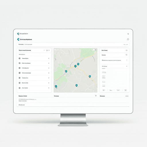
Kenya-hosted maps
Real-time updates
Route planning
Email & in-app alerts
Precision tools for fleets and schools
Everything you need to monitor assets — and run school transport with parent updates.
GPS accuracy
Live positions with speed, heading, and online status — updated as your devices report in.
Geofence alerts
Draw area fences and route corridors. Get emailed when assets enter, exit, or go off-route.
Fleet reporting
Distance, utilization, and daily rollups so you can spot idle time and improve routes.
How it works
From device to actionable alert in three steps.
Get your trackers
We supply compact TrackAnything GPS trackers — one of the smallest on the market. We handle setup and activation for you.
See everything on one map
Live dashboard with locations, status, and history playback for any date range — vehicles, assets, or equipment.
Set rules and get notified
Create geofences for fleets, or invite school parents to set drop-off pins and receive drop-off emails — without parent logins.
Built for Kenyan operations
Whether you track one asset or hundreds, TrackAnything scales from a single owner to multi-user teams with fine-grained permissions.
Delivery & logistics
Monitor route adherence, off-route alerts, and mileage for every run. Optimize fuel consumption with precise idling reports.
Car hire & rentals
Know when vehicles leave agreed zones — support usage billing and recovery with instant alerts.
School transport
A dedicated school portal for buses and routes. Invite parents by email to set drop-off pins, then notify them when a child is dropped off — no parent accounts required.
Assets & equipment
Track tools, generators, containers, or high-value items — not just vehicles. Compact trackers for anything that matters.
Trusted by Kenyan operators
Fleets, schools, and hire businesses use TrackAnything for live visibility and accountable alerts.
“We moved from spreadsheet check-ins to live route alerts in a week. Parents finally get a message when the bus drops off.”
“Geofence alerts when hire cars leave the agreed zone paid for the platform in the first month of billing disputes we avoided.”
“Kenya-hosted maps load fast on Safaricom data and we are not paying per map request like our old overseas vendor.”
Your data, your maps
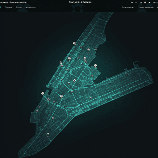
Unlike generic tracker apps that rely on overseas servers and third-party map APIs, TrackAnything is built on open geospatial tooling hosted in Kenya. That means predictable costs, local compliance, and maps that work when you need them.
- Self-hosted tiles and routing — no per-map-request billing surprises
- PostGIS-backed geofences for accurate enter/exit detection
- Team invites, role-based access, and audit-friendly reporting
Ready to get started?
Sign in to the portal or order trackers for your fleet, school, or assets.
Frequently asked questions
What is TrackAnything?
A GPS tracking platform for Kenyan fleets, schools, and individuals — we provide the tracker, live maps, geofencing, school drop-off workflows, team access, and reporting in one portal.
Do you provide the trackers?
Yes. We supply our own proprietary TrackAnything GPS trackers and manage the full platform. No need to source third-party hardware.
How is pricing structured?
KES 2,500 one-time per tracker for hardware and setup, then KES 599 per device per month. No tiered plans — every device gets the full feature set.
Do you support school buses?
Yes. School accounts get a transport-focused portal: manage buses and routes, invite parents by email to set drop-off pins, and notify parents when a child is marked dropped off. Parents do not need an account.
Do you use Google Maps?
No. We run self-hosted OpenStreetMap vector tiles and PostGIS for geofence enforcement — map data stays on infrastructure we control in Kenya.
Is there a mobile app?
The portal works as a progressive web app in your browser — install it on your phone for quick access to the live map and alerts without a separate app store download.
Start knowing where it matters
Join fleets and schools across Kenya using TrackAnything to track what matters.